(
Bridge Hunter;
Sattelite)
This route was the
Vandalia Railroad before Pennsy bought it.
This bridge is one of two concrete arch bridges over the Little Wabash River in Effingham County. The other is a
1902 CN/IC open-spandrel arch bridge.
I did not realize there was a concrete arch bridge in Illinois. (Update: I had completely forgotten about my post on
the CN+Amtrak/IC bridge over the Kankakee River.) When I saw how close this was to I-57, I had to check it out for myself. A satellite image shows that there is an access road down to the river.
 |
| 20161126 6882 |
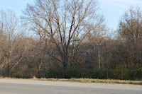
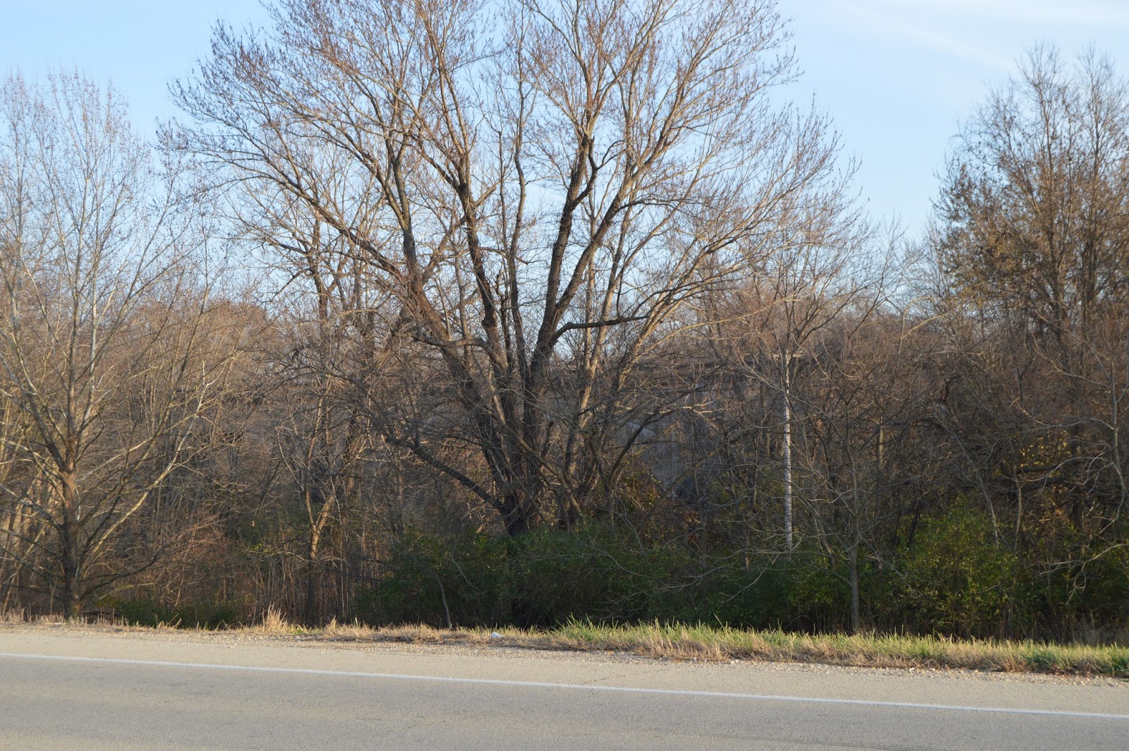
Unfortunately, the sign indicates NO trespassing, swimming, diving, or fishing. In otherwords, they not only outlawed what the boys are doing in the postcard, they made it illegal to park in that parking area. So I parked in a turnout off US-40. Unfortunately, you can't see much from the road even with the leaves off the tree:

So I walked down the access road anyhow. The first thing you see is a dam. Note the serious bank-erosion protection. Obviously the Little Wabash can get rather big during heavy rains. You can see this dam in the middle of the bottom of the satellite image.
I then followed the power line RoW through the trees. The cleared part curves to the right (south) were you see the weeds start.
This is a view looking south where the "road" turns south. You can see there is a clear path on the left all the way to the treeline at the river's edge. Why they maintain access to this area is a puzzle.
From the same spot, this is the view looking north. I'll have more to say about that US-40 bridge later. For now, note that during the dry season it is over just land. There is no water flowing under it.
After walking south on the path to the treeline, here is a view looking upstream (west) that catches the western arch of the bridge.
I took closeups of the three arches from west to east (below).
Note the debris hanging from the end of some of the tree limbs. And the erosion of the pier below the rounded pier cap. During floods, the water level must get so high that the water flows across the field north of US-40 and goes under the "dry" bridge I showed earlier. In other words, all of the kids in the postcard would be in deep, and probably fast flowing, water. That is probably why they have posted "stay out." There is
a dam a little upstream, but it does not look like it could do a significant controlled release. So I think the only danger for flooding here is heavy rains.


 So I walked down the access road anyhow. The first thing you see is a dam. Note the serious bank-erosion protection. Obviously the Little Wabash can get rather big during heavy rains. You can see this dam in the middle of the bottom of the satellite image.


Belated thanks for posting thses photos. I am doing some analysis of river flows and phosphorus loads near this site using data collected by the US Geological Survey (USGS) and the Illinois EPA. Potential reasons for maintaining access to the site are to allow these data to be collected, and to allow inspection of the dam, which the Illinois DNR does periodically.
ReplyDelete