(
Satellite)
USACE, Pittsburgh District
posted three photos with the comment:
An aerial view of Monongahela River Locks and Dam 3 at Elizabeth, Pennsylvania.
Elizabeth Locks and Dam is one of nine navigation structures on the Monongahela River which provide navigation from Fairmont, West Virginia, to downtown Pittsburgh.
The facility is located at River Mile 23.8. Construction on Elizabeth Locks and Dam began in 1905 and was completed in 1907, at which point it became operational.
📸 by Michel Sauret
Mark Novak: 9 dams on the river .. none hydroelectric?..
U.S. Army Corps of Engineers Pittsburgh District: Mark Novak hey Mark!
Here's a story we wrote recently about the hydropower plants at our various dams on the river and at reservoirs:
Todd Rygelski: When is this scheduled for demolition?
Michel Sauret: Todd Rygelski the schedule hasn't been set yet, but it's planned for sometime in 2024.
[The
Braddock (#2) Dam is being made bigger so this one will no longer be needed.]
 |
| 1 |
 |
| 2 |
 |
| 3 |
%20An%20aerial%20view...%20-%20U.S.%20Army%20Corps%20of%20Engineers%20Pittsburgh%20District%20_%20Face.png) |
| Comments on the above post |
USACE, Pittsburgh Division
posted four photos with the comment:
🚢🌉 Elizabeth Locks and Dam: Over a Century of Navigational Service
🔔 Attention Pittsburgh District! We are turning a chapter of history! The iconic Elizabeth Locks and Dam, a centennial beacon of navigation and economic drive since 1907, is gearing up for a dramatic conclusion next summer. 🏗️🌅
📆 Want more information? Come see us tomorrow, Dec. 12, 7-9 PM at the Elizabeth Borough Firehall. Join us to delve into the transformative journey of this historic landmark. 🗓️📍
👷♂️ Hear firsthand from our dedicated team about the intricate art of maintaining one of the nation's oldest locks! 🛠️🔧
💣 Witness plans for an explosive finale, marking a bold leap into modern navigation advancements. We're not just demolishing a structure; we're paving the way for a more efficient, 30-mile navigable waterway! 🌐🛳️
🌳 We're not just leaving a legacy behind; we're transforming it. Expect innovative fish reefs and riverbank stabilization efforts, ensuring our river's health and vibrancy for years to come! 🌱🐟
👋 Say farewell to the old and welcome the new era of navigation. Be part of this historic
U.S. Army Corps of Engineers Pittsburgh District
Joe McNeil: Let’s not forget totally decimating the fish population that lives there 🤦🏻♂️
U.S. Army Corps of Engineers Pittsburgh District: Joe McNeil I think you've missed the fact we just constructed 73 stone fish reefs in the Monongahela River.
Joe McNeil: U.S. Army Corps of Engineers Pittsburgh District I’ve read everything you guys have planned. But I think you’re missing the fact that the dam created the necessary levels of dissolved oxygen required during the summer for the insane amount of thriving fish there. That is their home and it’s about to be blown into oblivion. That river temp hits 85 degrees in the summer & feels like bath water. Those reefs will attract some fish of course, but it will never be even close to the same. Now people are just going to have to watch out for their lower units/props. Lol
 |
| 1 |
 |
| 2 |
 |
| 3 |
 |
| 4 |
 |
Mark Dodd commented on the above post
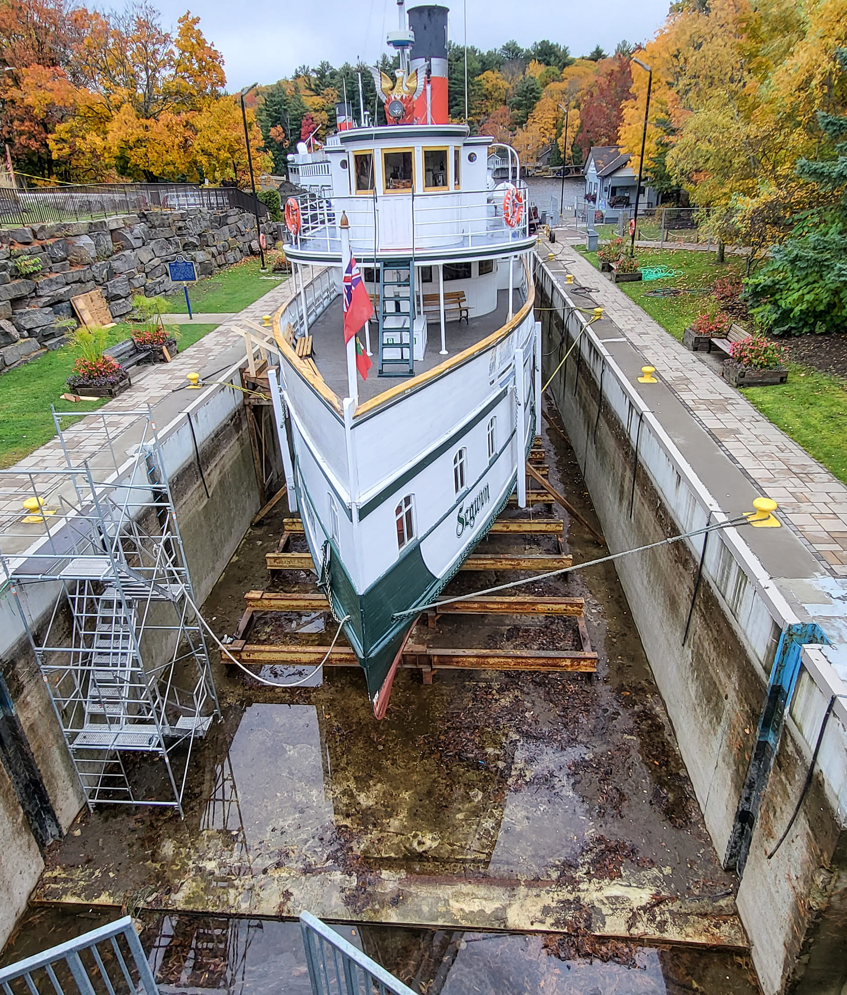
I was the last of 5 generations of our family to live in the village of Lock Three, named after the original wooden locks. This is a picture of the original wooden lock and dam. |
 |
Jackson-Township historical preservation posted
William Whigham Towboat in lock on the Monongahela River at Elizabeth, Allegheny County around 1920 to 1940s. |
 |
Jacob H. Ford Photography posted
Here's another shot I took late morning from the Elizabeth Bridge, standing closer to the West Elizabeth side of the river from the bridge. Since my last shot with a towboat and barge was in black and white, I decided to keep this shot here in color. In this shot I captured a towboat and barges along Riverlift Industries in West Elizabeth, and another one farther up the river on the other side of Lock #3. What I love about this shot in addition to the fog on the river is the placement of the towboats and barges, while I intentionally included some of the cranes and other equipment for a more industrial look to this composition. The lowly fog in the valley also gives this shot an interesting look as well, with the thin layer of fog right over the water's surface giving the water an almost "silky" look. I may post a black and white version of this specific shot later this week, but for now, here's the color version. Enjoy! Photo taken: March 2, 2024 Jeff Warner: it's going to be wild to not have that lock and dam after July [2024]. [It looks like at least some coal is still being mined.] |
USACE, Pittsburgh District
posted two photos with the comment:
🚤 Hey everyone! Big changes are coming to the Monongahela River with the upcoming removal of the Elizabeth Locks and Dam.
📅 Mark your calendars for the week of July 8, 2024, when the first demolition is scheduled to begin based on river conditions and weather.
Expect some navigation delays as we work to improve our river!
What to expect:
- Lock closures for up to 12 days
- Weekly navigation pauses
- Safe passage through lock chambers for safe transit
We appreciate your patience with any navigation delays during this project. Please be extra cautious when navigating the river, and always follow posted safety markers and signs. Your safety is our top priority.
Please help us spread the word to friends, family, and fellow boaters. Thanks!
 |
| 1 |
 |
| 2 |
 |
USACE, Pittsburgh District posted
🕰️ Historical Highlight: The Elizabeth Locks and Dam 🕰️ Built in 1907, the Elizabeth Locks and Dam has been a crucial part of the Monongahela River, supporting navigation and the community for over a century. It played a vital role in Pittsburgh's steel industry and served as a beloved community landmark. This historic structure not only facilitated commerce but also provided recreational opportunities for local residents, becoming a cherished part of the area’s social fabric. Families would gather along the riverbanks for fishing, boating, and picnicking, making memories that spanned generations. As we prepare for its removal starting the week of July 10, we reflect on its historical significance and look forward to a revitalized river ecosystem. Removing the dam will provide 30 miles of unobstructed river, benefiting aquatic life, commercial traffic, and recreational boaters. This project, part of the Lower Monongahela River Project, is expected to save $200 million annually in transportation and maintenance costs. Stay tuned for more updates! Learn more at USACE Lower Monongahela River Project at |
%20Video%20_%20Facebook.png) |
Facebook reel of blowing up the dam, Jul 13, 2024.
🚧💥 A Historic Goodbye 💥🚧 The lockmaster and three local residents marked a monumental moment at Monongahela River Locks and Dam 3 near Elizabeth, PA. Together, they plunged the handle of a blasting machine, signaling the end of an era! Since 1907, this dam has been a steadfast presence. However, the U.S. Army Corps of Engineers Pittsburgh District used explosives to breach the fixed-crest dam, kicking off its demolition and the eventual removal of the lock walls. 🌊 What’s Next? 🌊 The removal will create a seamless 30-mile stretch of riverway from Charleroi to Braddock, PA, dramatically improving navigation on the Lower Monongahela River. 💸 Big Benefits 💸 This is part of the Lower Monongahela River Project, expected to bring a whopping $200 million in economic benefits annually! That includes huge cost-time savings for transporting goods through the region and slashing maintenance costs. Watch this historic moment! [What are the white "tubes" in the screenshot?] |
U.S. Army Corps of Engineers Pittsburgh District
posted five photos with the comment:
Well, it finally happened!
Strong winds and choppy waters caused long delays, but we successfully breached the fixed-crest dam last night at Monongahela River Locks and Dam 3 near Elizabeth, Pennsylvania.
Notice: The lock will be closed to navigation for at least three days while the two pool levels equalize.
Removing the dam will create a continuous pool of riverway stretching 30 miles from Charleroi to Braddock, Pennsylvania, improving navigation on the Lower Monongahela River.
The dam’s removal work will continue through December. Until the Corps removes the entire dam and verifies the navigation channel is safe, all traffic must pass through the landside lock. After the initial demolition, contractors will perform additional demolitions once per week, requiring the locks to close for three hours or less.
The demolition will require 13 more controlled explosions, taking down the rest of the dam in 50-foot sections. The contractor will use excavators on barges to remove the rubble from the river.
After the dam is removed and the riverway is cleared, waterway users can navigate through the area without using the lock chambers. The river is anticipated to reopen by the end of 2024.
The Pittsburgh District will then move onto the next phase of removing the lock walls in 2025, with work expected to last until 2027.
The demolition is part of the Lower Monongahela River Project. Once complete, the project is expected to bring an economic benefit of $200 million annually, including cost-time savings in transporting commodities through the region using inland navigation and reduced maintenance costs.
The Monongahela River Locks and Dam 3 has been operating since 1907, but the facility is prone to flooding and shuts down operations during high-water events, resulting in navigation delays.
The U.S. Coast Guard supported by establishing a restriction zone 1,500 feet up and downstream of the dam.
📷 by Michel Sauret & Stacey Wyzykowski
U.S. Army Corps of Engineers Pittsburgh District: More photos:
 |
| 1 |
 |
| 2 |
 |
| 3 |
 |
| 4 |
 |
| 5 |
Aug 26, 2024:
 |
USACE, Pittsburgh District posted
We're accelerating progress on the Monongahela River! The Pittsburgh District is on track to open a 100-foot-wide navigation channel through the dam at Monongahela River Locks and Dam 3 near Elizabeth, PA by August 28 —months ahead of the original December 2024 timeline!
After breaching the dam with controlled explosives on July 10, our team is working closely with contractors to restore a 9-foot draft, allowing commercial navigation without the need for the lock. This milestone is crucial for enhancing river transit and supporting our local economy.
“We are committed to opening the 100-foot-wide channel through the dam for commercial navigations as safely and expeditiously as possible.” said Col. Nicholas Melin, commander of the Pittsburgh District.
Following the channel opening, we'll begin demolishing the lock walls next year as part of the larger Lower Monongahela River Project—a $1.1 billion federal investment revitalizing one of the nation’s oldest inland navigation systems. These improvements will save commercial tows at least one hour of transit time, with expected annual benefits of $200 million to our economy.
|
USACE Pittsburgh District
posted five photos with the comment:
The U.S. Army Corps of Engineers Pittsburgh District is actively working to ensure safe navigation within the authorized federal channel on the Monongahela River following the removal of the Elizabeth Dam.
Our contractors are conducting dredging operations from 6 a.m. to midnight each day to ensure the river remains navigable. This effort is focused on maintaining the crucial 9 ft. navigation depth to support commercial traffic.
We are closely monitoring conditions and will continue to take necessary actions to restore full navigation capabilities for all river users.
Zach Frere: U.S. Army Corps of Engineers Pittsburgh District
You misworded
We made a massive mistake and rendered the river unusable now we are wasting millions of taxpayer dollars to have emergency contractors blindly dredging to try and cover up our mistake.
Ronald Towers: My question is are you also dredging the shore where the marinas are so their docs are not sitting on land anymore.
Chad Kalkowski: I wonder how many endangered fresh water mussels are now being impacted because of mistakes made.
2 of 4 photos posted by
USACE, Pittsburgh District with the comment: A historic demolition!
After more than a century of use, the #PittsburghDistrict has begun demolishing the #Monongahela Locks and Dam 3, also known as the #Elizabeth Locks locally.
We completed the dam removal last year using explosives and heavy machinery on a fleet, and we began dismantling the lock chamber this year. The first phase is removing the miter gates. The work to demolish and remove the lock chambers completed is expected to last until Spring 2027.
The locking facility in Elizabeth had been in operation since 1907. Originally the dam served to raise the river’s depth to allow large towboats to transport commodities on the river year-round, but due to the facility’s aging infrastructure and upgrades made to other locks and dams on the Monongahela River, the Elizabeth-based locks and dam became more of a navigation obstacle than a benefit.
📸 by Michel Sauret
 |
| 1 |
 |
| 2 |
USACE, Pittsburgh District
posted four photos with the comment:
Dozens of #public #shoreline facilities along the #MonongahelaRiver have been receiving millions of dollars in #FederalAid to adjust to river level changes.
The #PittsburghDistrict has already invested more than $23 million to modify nearly 50 public shoreline facilities and is currently working toward adjusting seven more facilities since the 1990s. The remaining facilities include government-owned boat launches, riverside parks and sewage infrastructure.
The towns of Monongahela and Elizabeth elected to complete construction on some of their facilities after the current recreational season. We will work to reimburse their engineering, planning and construction costs at 100 percent.
Last summer, pool levels changed when the Pittsburgh District removed a fixed-crest dam near #Elizabeth #Pennsylvania. Removing the dam opened 30 miles of navigable waterways that benefits large commercial vessels transporting bulk commodities.
Upstream from the dam that was removed, where water levels dropped approximately two feet in elevation, municipalities will use the funds to extend public boat ramps.
Downstream, water rose and partially submerged the Elizabeth Riverside Park.
Federal funds will cover the cost of adding a concrete layer to elevate its deck and seating, with construction expected to wrap up by spring 2026. The Monongahela Aquatorium is also expected to finish before summer 2026, while the remaining projects are on track for fall 2026.
Shane Checkan: I'm sorry, the public perception of this is a little frustrating. This mistake was caused by the US Army Corps of engineers. Let's not spin this to where the government is doing everybody a favor, the reality is you are spending our tax dollars to fix the problem that you created.
Also, let's not forget to tell the truth that there isn't even funding secured yet to do the maintenance dredging needed to maintain the channel that we had before. We're fighting for this funding to fix the problem you created and you're acting like you're doing us a favor and it's all good and over! Don't lie to the people!
U.S. Army Corps of Engineers Pittsburgh District: Shane Checkan The Pittsburgh District has been collaborating with affected communities since the early 1990s to help them prepare for river level changes. There was no mistake. We had been planning for these modifications for decades.
[There are a lot more comments about the impact of lowering the river.]
 |
| 2 |
 |
| 3 |
 |
| 4 |
I'm guessing this demolition is here. Why won't the USACE provide location information.
 |
USACE, Pittsburgh District posted
Charges are set, and the controlled demolition to remove the lock wall will continue between 1 and 3 p.m., July 8, 9 and 10, weather permitting. 🚗For the public’s safety, traffic restriction will be in place affecting cars and pedestrians in both directions at Bunola River Road (State Route 2001) for up to 15 minutes. ⏰ Southbound traffic will be stopped at the Cherry Lane intersection and northbound about 500 feet from the lock and dam entrance. Emergency vehicles have exception. 🎧Audible signals used to alert the public: 1. WARNING SIGNAL – A one-minute series of long audible signals five minutes before the blast. 2. BLAST SIGNAL – A series of short audible signals one minute before the blast. 3. ALL CLEAR – A prolonged audible signal after each blast inspection. |
 |
| USACE posted 0:15 video @ 0:04 |
 |
| Same video @ 0:09 |


%20An%20aerial%20view...%20-%20U.S.%20Army%20Corps%20of%20Engineers%20Pittsburgh%20District%20_%20Face.png)


%20Video%20_%20Facebook.png)