Showing posts with label rrCBaQ. Show all posts

Saturday, August 9, 2025

1888+1982 BNSF/(CB&Q+GN) Bridge over Missouri River at Sioux City, IA

1888: (Archived Bridge Hunter; Bridge Hunter; HAER)
 
Street View, Sep 2024

Street View, Sep 2024

Photo provided by the Smithsonian Institution via BridgeHunter_1888, Public Domain

I found this bridge while researching how the CB&Q Railroad that was south of Sioux City connected with the Great Northern Railroad that was north of Sioux City. It looks like the bridge also helped C&NW connect some of its routes.
- Burlington Northern Railroad (BN)
- Chicago & North Western Railway (CNW)
- Chicago, Burlington & Quincy Railroad (CBQ)
- Chicago, St. Paul, Minneapolis & Omaha Railway (CMO)
- Great Northern Railway (GN)
[BridgeHunter_1888]
Except for the navigation span, the new bridge is a steel girder bridge.
2018 photo by John Bernhisel via BridgeHunter_1982

The BNSF is made up of four routes in the Sioux City area. The CB&Q was the unlabeled routes on the south and west side of the area. The middle route in the upper-right corner was the Great Northern. And BNSF bought the Milwaukee route to the northwest. (The Milwaukee to the southeast is abandoned.)
1955/67 Sioux City Quad @ 250,000

This BNSF system map summarizes the four routes.
BSNF_network

It is interesting that the former-CB&Q route to the west is omitted from this map.
BNSF_subdivision

Monday, December 9, 2024

1893,2013 Bellefontaine Bridge over Missouri River near the Mouth

(Archived Bridge Hunter; Historic Bridges; HAER; Satellite)

BridgeHunter also included this HAER, but that is of a bridge in Nebraska, not Missouri!

HistoricBridges rates this bridge as 9/10 national and 10/10 locally. It is one of the few bridges left that was designed by George Morison, who Nathan calls "one of the greatest engineers in American history...who built some of the first major river, long-span metal truss bridges in America. Visit the Frisco Bridge page to learn more about Morison."

HAER MO,95-SALU.V,1--3
3. EAST WEB, SHOWING PIERS AND SHORELINE; VIEW TO NORTH - Bellefontaine Bridge, Saint Louis, Independent City, MO
 
HAER MO,95-SALU.V,1--31zzz
31. Photocopy of historic photograph, photographer unknown, date unknown. TRAIN PASSING THROUGH SPAN AT NORTH END OF BRIDGE

Only two of the four cut-stone piers have needed reinforcement so far.
Street View, Jul 2022

The approach on the north side is a viaduct over a flood plain. According to a comment by Al Bertram on BridgeHunter, it was rebuilt and the piers were capped around 2014.
Street View, Oct 2022

Street View, May 2013

This view shows that the flood plain does get wet.
Street View, Jul 2015
Aug 2019 and Jan 2022 also have standing water in the field.

Given that the river was high in Jul 2015, I went back and got a view of the main channel back then.
Street View, Jul 2015

safe_image for 1893: A Newly Built Railroad Bridge in Missouri Passes a Crucial Test
Photo Credit: Library of Congress
"The Bellefontaine Bridge was one of the first bridges to incorporate what is known as the Baltimore truss design."

pdf, p 6 via archive via BridgeHunter
The Bellefontaine Bridge: a report to Charles E. Perkins, president of the Chicago, Burlington & Quincy Railroad [published 1894]


Sunday, March 24, 2024

IR/BNSF/BN/CB&Q Bridge over Fox River at Montgomery, IL

(Satellite)

Judging from the skinny piers placed between the middle pier and the shores, this bridge used to have two truss spans.
Street View, Sep 2021

Marty Bernard shared a Flickr link
CB&Q 4960 taking a fan trip across the Fox River Bridge at Montgomery, IL on June 20, 1965. Please look at it full screen.
Robert Chawgo: Beautiful....and the C&S auxiliary water tender.
Marty Bernard posted
CB&Q 4960 Crossing the Fox River at Montgomery, IL
The fantrip was on June 20, 1965.
Marty Bernard shared
Allen Hartman: Is that an extra water tender ?
Jason R Maxwell: Allen Hartman, yes

Friday, January 26, 2024

CB&Q Covered Bridge over Vermilion River at Streator, IL

(Bridge Hunter broke Apr 22, 2023; Satellite)

John Burt posted
CB&Q covered trestle over the Vermilion River at Streator on the Zearing branch. 1927. The cover was removed in the early 30s.
Thomas Whitt shared
Wow!

John Burt commented on his post
This is all that's left of the trestle today.

Dennis DeBruler commented on John's post
 https://www.google.com/maps/@41.1318262,-88.8516792,90m/data=!3m1!1e3?entry=ttu


Monday, September 19, 2022

Aban/CB&Q Bridge and Guard Lock on Hennepin Feeder Canal in Rock Falls, IL

Bridge: (no Bridge Hunter; Satellite)
Lock: (Satellite)


Normally, I would skip yet anther mundane steel-girder deck bridge. But the canal intreged me. It is the feeder canal for the Hennepin Canal.
Dave Kuntz posted
Another ghost for you - an abandoned MILW [actually, CB&Q] bridge spanning a mostly abandoned canal near Rock Falls, IL
Mike Breski shared
 
Friends of the Hennepin Canal posted
Did you know?
There are 33 locks on the canal. Thirty-two are still visible. Fourteen of the locks had Marshall gates, which are unique to the Hennepin, and are raised and lowered on a horizontal axis, much like a rural mailbox. Five of the locks have been restored to working condition, although they are not used. (From the Illinois Department of Natural Resources.)
Pictured below is the Guard Lock, Sluice Gates and Guard House at the Hennepin Canal in Rock Falls, Illinois in 1907. (Image from University of Wisconsin Madison online libraries.)
Logan Fahr: All 33 locks are visible.
Gary Wagle: Logan Fahr Actually, Lock #1, in Bureau on the Illinois River, no longer exists...washed out by flooding and neglect. Most all of the other 32 locks exist, in part.
Logan Fahr commented on Gary's comment
oh its there 
 
John Vize posted
Birds Eye view of the guard lock from the water tower looking northeast, Sept 28, 1909. Note the volume of water flowing into the feeder canal in this photo compared to now.

John Vize posted
The Guard Lock on the Feeder at Rock Falls in the early days of the canal. Photo from my collection.
Lloyd Scott Hardin shared

John Fize posted
Feeder guard lock from N.W. Sept 25, 1909.@

1946 Sterling Quad @ 62,500

Monday, August 8, 2022

CB&Q Overview

 The best overview map I've found.
William A. Shaffer posted

1879

1880

I have notes on some of the predecessor railroads:


CB&Q's Iowa and Saint Louis Railroad

Google API
Iowa and Saint Louis Railway (I&StL) was incorporated in Missouri on May 18, 1901 and in Iowa on April 2, 1902. It built north from Omaha, Kansas City & Eastern Railroad from Novinger, MO and south from Sedan (Centerville), IA, until the segments met in 1903. It also built south of Novinger to Elmer (Mercyville) in 1903. CB&Q leased it September 1, 1903, before it was completed November 28, 1903. It was sold to CB&Q December 1, 1903. [CorporateHistory, pp. 310-311] Another source says the I&StL merged into CB&Q in 1905. [BNSF Segments, Segment 1622] It was abandoned in 1936 except for the segment from Novinger south to South Gifford, which was abandoned in 1942. [BNSF Segments]

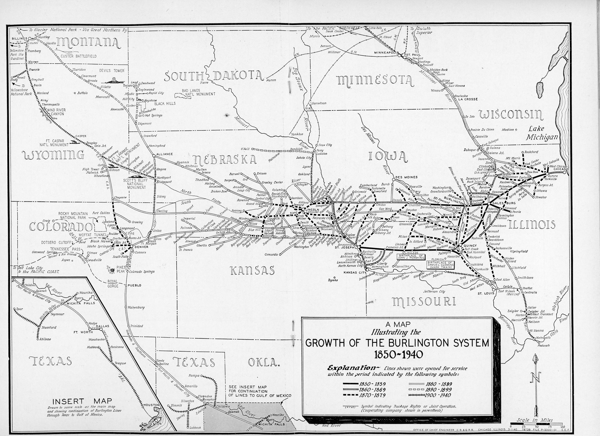
Unfortunately, Google broke their API soon after I used it. I'm not willing to learn how to fix it because I'm afraid they will just break it again. So I looked for some CB&Q maps. Some were too old and this branch did not yet exist. The others were too new and the branch was already gone. I did find a 1940 map that still had the segment between Novinger and South Gifford.
William A. Shaffer posted

Then I tried topo maps. The large scale maps were too new to still have it. The small scale maps were too tedious to follow the route. But I include the following excerpt to confirm the branch did go through Novinger.
1913 Queen City and 1938 Kirksville Quads @ 62,500


I learned of the existence of this railroad from this Facebook posting of an abandoned depot in South Gifford, MO. 
D.W. Cole posted on Facebook

I also learned that there were coal mining areas in North Central Missouri. Coal dominated the traffic on the line, so when the underground mines became too expensive to operate because of water inflow and thin seams, the railroad became a victim of highways and the depression. [Wikipedia]

A reader who wishes to remain anonymous provided the correct location of this depot.
Abandoned Railroads


Friday, July 8, 2022

1920 BNSF/CB&Q Hurds Island Bridges over Fox River in Aurora, IL

East Channel: (Bridge Hunter; Historic BridgesJohn MarvigSatellite)

These bridges carry the BNSF/CB&Q mainline over the Fox River. An abandoned bridge for an industrial spur is just upstream from these bridges. And the Fox River bridge for the IR/CB&Q Streator Branch is downstream of these bridges.

A photo of the downstream side of the West Channel Bridge from a trail bridge.
20170401 8350

An "artsy" photo, but it is more useful as a memory aid photo to remind me that I shot it from the trail bridge.

I had a hard time finding a clear view of the bridges because there are trees along the shores of Hurds Island. This is the East Channel Bridge. Note some leaves of the trees are in the river. I made this field trip because the local rivers were running high.
20170725 0614

This is the West Channel Bridge. Note the river was almost on the trail. There were parts of Hurds Island that were under water. In fact, the drive to the parking lot on the island was closed during this trip.


HalstEd caught the river during a more normal flow. Note the extensions on the north side of the pier. They were covered in my July 25, 2017, photo because of the high river level. The extensions must be more than just ice breakers. I presume that they help the current in the river to use the east and center parts of the river rather than pile up against the west bank and cause erosion.
HalstEd Pazdzior posted
RCHI476 over the Fox River.  7/7/22
[Not only did he catch a Blue Bonnet, the BNSF loco is H1.]

Note that during the Apr 1, 2017, trip the river level was right at the top of the extensions. I was able to park on Hurds Island during this trip. (I don't know why the exposure is so dark. Did I catch a lot of glare off the river?)
20170401 8354

Since the leaves were still off the trees, I got a little more of the East Channel Bridge.

On the July 25, 2017, trip, I caught a train going across the East Channel


The train continued to roll across the bridge as I walked on Hurds Island from the east side to the west side. Note the water under the swings because the river was running high.

Jeff Wojciechowski posted
[On the west side of Hurds Island on the downstream side.]

Chuck Pfeiffer posted two photos with the comment: "Saw this parked on the Fox River bridge just south of downtown Aurora earlier this week. That's a horrible spot to park. The bridge has crumbling concrete."
1

2
[This would be the downstream side of the West Channel. HistoricBridges-west points out that this bridge is skewed.]


Tuesday, May 24, 2022

1902 UP/C&NW and BNSF/CB&Q Bridges across Kickapoo Creek near Peoria, IL

The bridges are listed from North to South with BNSF Bridge Hunter on the left and C&NW on the right.
(Bridge Hunter #6; Bridge Hunter #1Satellite)

Both C&NW and CB&Q built routes west of Peoria through the Kickapoo Creek valley. They paralleled each other with CB&Q on the west side. The C&NW route was built in 1902 and their quadrangular lattice or Whipple trusses still stand. The CB&Q route was evidently built in 1911. Just the truss bridge on the south end still exists. The other bridges are now pony plate girder bridges. I'm documenting them in pairs since they are side by side. I document them from the south to the north since the southern bridges are the most interesting.

BNSF #1 and UP #4

 
Street View

Low-res copy from BridgeHunter-BNSF#1 of Lance Flickr Photo
Molitor Junction
Onto BNSF rails now, the detouring Iowa Interstate BICB led by the 513 rolls over Kickapoo Creek as it leaves the Peoria area enroute to Galesburg. the bridge on the left is the Union Pacific's ex-C&NW route from Nelson down to South Pekin and beyond.

Michael Broshears posted
August 83 probably by Molitor Jct.  as a BN empty passes by a CNW loads.
Howard Keil: The telegraph pole in the far side has fallen over. I think there is now a guardrail on the left bridge on the right side opposite the guard rail that's there. The left one was built in 1911.
David Jordan: Molitor Junction is right behind you at left.

This was the post that motivated the research of these bridges. At first, I thought it was the pair of trusses south of Peoria because of the "near Bartonville" phrase in the post's comment. But then I noticed that neither of those trusses are Whipple trusses. So now I think the posted photo is of this pair.
Alan Look posted
Near Bartonville - a set of twin steel beam railroad bridges. Very sure they are still in use. Believe they are both referred to as Kickapoo Creek Bridge #1 in Bridghunter and carry BNSF traffic. Image date: 5-12-2022
Dennis DeBruler
The quadrangular lattice truss bridge on the left is UP/C&NW, Bridge Hunter UP #4.
Since the CB&Q route was built west of the C&NW route, you are looking South.

John Marvig photo via BridgeHunters. John also has web pages for these bridges documented at the top.
This photo emphasizes that there is a significant flood plain north of the river. A satellite image shows the flood plain is longer than the channel width.

Steve Smedley posted
A Chicago, Burlington & Quincy Railroad Eastbound train is shown crossing Kickapoo Creek at Molitor Junction in Peoria, Illinois. From left, M&STL, CB&Q and CNW. Sept 1963.
Jim Bartke photo/ collection of Steve Smedley
Marty Bernard shared

Howard Keil commented on Steve's post
Side view. Dogs are standing underneath where the m and STL bridge used to be


BNSF #8 and UP #3

These bridges accommodate a flood plain on the south side of the channel.
Steve Conro Apr 2016 photo via BridgeHunters

C&NWHS Photo via BridgeHunter-UP#3

BNSF #7 and UP #2

We can see  BSNF #6 to the left of the top of the UP #2 truss.
Street View

Low-res copy from BridgeHunter-UP#2 of Bill Pearsall Flickr Photo

BNSF 540 PIA Harmon

BNSF Dash 8's 540 and 555 lead the Peoria Local down the Kickapoo Creek basin towards the TZPR's East Peoria Yard.


I was really hoping for a side by side but that didn't work out to well. :-(

[UP#2 is framing a view of UP#1.]

BNSF #6 and UP #1

Steve Conro Apr 2016 Photo via BridgeHunters

This bridge not only has a relatively huge flood plain, it looks like it is filling up with a sandbar.
Steve Conro Apr 2016 Photo via BridgeHunter-BNSF#6