Friday, July 4, 2025

Rock Island Southern Trestle and then Lake Matherville Dam

(Satellite)

Retro Quad Cities posted
This photo showing a wooden trestle for the Rock Island Southern Railway, would eventually be backfilled and became the dam for Lake Matherville!!!
Mike Robinson: And I believe that a few miles more south on that line was one of the longest wooden trestle railroad bridges at the time. Located south of Gilchrist. I only heard it from old farmers in the area.
[Several comments provide newspaper clippings.]

Nick Barman commented on the above post
The original post card says building to aledo which is neat

1953/57 Matherville Quad @ 24,000 

Thursday, July 3, 2025

1965+2021 I-81 Bridges over Potomac River and C&O Canal near Williamsport, MD

(no Bridge Hunter; Satellite)

Metrotrails posted
The underside of the Interstate 81 bridge over the Potomac River seen from the Chesapeake and Ohio Canal towpath east of Williamsport Maryland. 
The new bridges were completed in 2021 to replace the original I-81 bridges that had been in place since 1965.
Metrotrails shared

This explains why there is no Bridge Hunter post for the 1965 bridge, it was also a UCEB (Ugly Concrete Eyesore Bridge.) According to Google Earth, construction started on the new bridge later in 2016.
Trail View, Apr 2016

"Snapshots" of the construction activity.
 Street View, Nov 2015

Street View, Nov 2017

Street View, Aug 2018

Street View, Oct 2019

Street View, Aug 2021


Erie Canal Centreport Aqueduct near Weedsport, NY

(Satellite)

Erie Canal overview

Street View, May 2023

John Kucko Digital posted seven photos with the comment: "The Erie Canal at 200 (#27):  Continuing my weekly series here on the page commemorating the bicentennial of the iconic Erie Canal.  In Weedsport, NY (Cayuga County) is a terrific spot along the Erie Canalway Trail to stop—see remains of the old Centreport Aqueduct, read great historical information at a kiosk and just relax and enjoy the beauty.  The towpath bridge was rebuilt to resemble the one that was here in the mid-1800’s.  Hard to fathom that mules and horses pulled commerce and passengers along the historic waterway here and countless other areas.  A war memorial is here, as well—terrific use, all around, of what was once an integral part of the Erie Canal here that allowed communities like Weedsport to grow and thrive back in the day. The Erie Canalway Trail is chock full of history relating to what took place some 200 years ago."
Jenn Knapp: The Weedsport Historical Society (which is actually next to where the canal used to run through town) has a lot of information and pictures of the canal and how it looked when it was in use. They have a mural painted on the side of the building of what it looked like as well. Such fascinating history!
1

2

3

4

5

6

7

I looked for the mural that Jean mentioned that is painted on the museum.
Street View, Nov 2021

The street view is good enough to confirm that this is a photo of the mural. However, the aspect ratio seems to be distorted.
Michael Fabrizio, Jun 2014

Today's Empire State Trail was built on the canal's right-of-way.
1902/02 Weedsport Quad @ 62,500

Wednesday, July 2, 2025

1936,1979 Main Street Bridge over Susquehanna River in Sidney, NY, 2006 Flood and I-88 Collapse

Bridge: (Archived Bridge Hunter; Bridge Hunter; Historic Bridges; Satellite)
I-88 Collapse at Carrs Creek: (Satellite)

Delaware County Historical Association, NY posted
Today in Local History:
June 27 - 29, 2006 - Serious flooding affects region. 
Up to 14 inches of rain falls in Susquehanna Valley. Sidney, NY is seriously damaged and truckers are killed on flooded Interstate 88.
Photo shows a flooding Susquehanna River at Sidney.
Margaret Dyer: I remember that, it shut down roads and businesses. Plus, I88 collapsed.
[A collapse explains how trucks got wiped out. See some more comments at the bottom of these notes.]

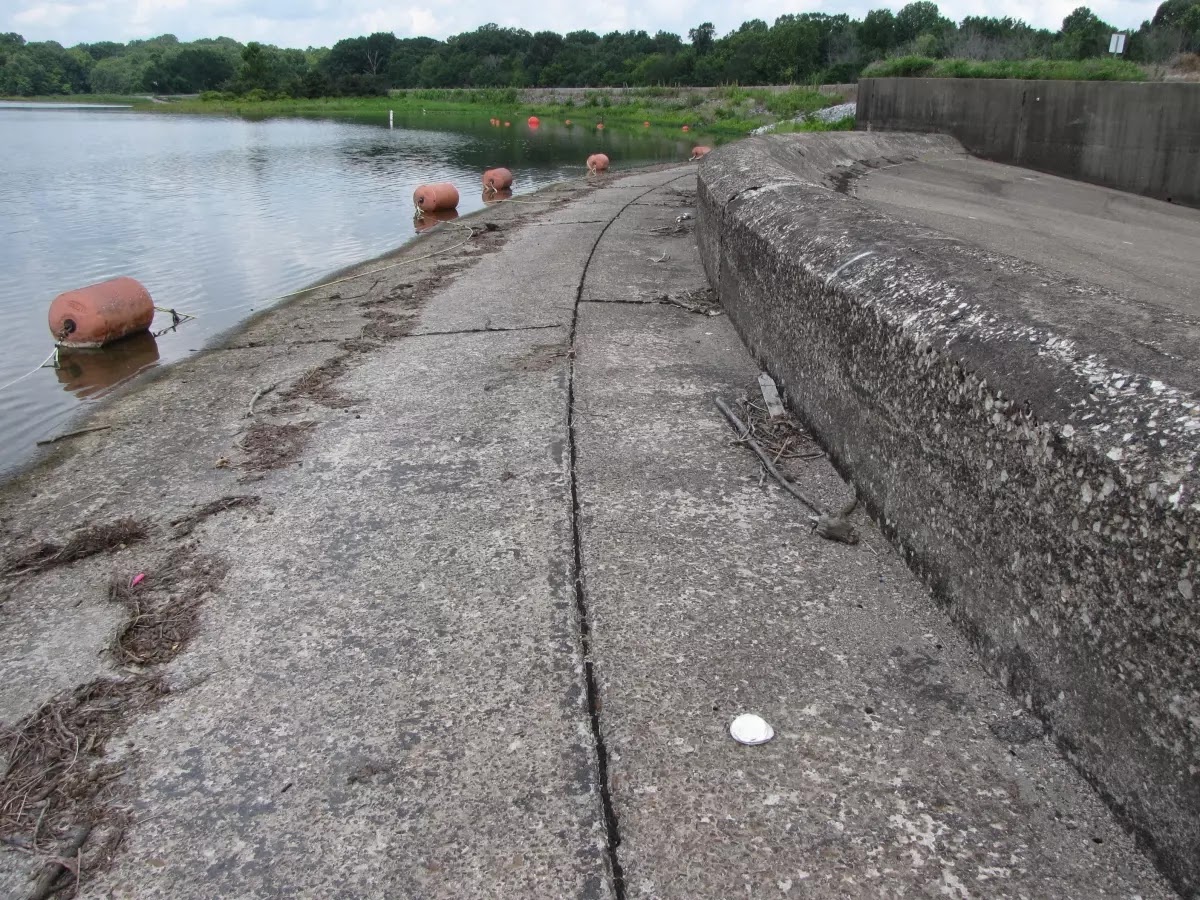
This 385' (117m) long bridge has three spans of 125' (38m). [HistoricBridges]

The sandbar and shrubs would have been under water.
Street View, Oct 2015

The south span is now normally over land.
HistoricBridges

But the river channel used to go all the way to the south abutment.
BridgeHunter, 1942 image from a postcard
"This is an excellent example of a state standard pony truss presented in a less-common multi-span configuration. Although the height was increased with a steel tube added, the original sidewalk railing itself also remains intact on this bridge."

The thing that caught my eye in the description was "I-88." Did they run out of even numbers above 80 because Illinois also has an I-88. It is the East/West Tollroad. It was designated IL-5 when it was built. But then the speed limit was reduced to 55mph. Later, when they allowed higher speeds on Interstate highways, the route designation was changed from IL-5 to I-88 since it was built with Interstate highway standards.
Road Map

I added the "wwPA" label to these notes because I think of the Susquehanna River as a Pennsylvania river. When I remembered this town was in NY, I checked out how the river flows through Pennsylvania. A quick look at a map confirmed that the river flows across the Allegheny Mountains. I followed the river on a satellite map to see how it got across the mountains. Then I found this map that shows the route. The red symbol in the upper-right corner marks Sidney. The river flows West, and then East and then back West before it goes South and Southeast through a little bit of Maryland into the top of the Chesapeake Bay.
LivingAtlas

Glenn Skinner commented on the post at the top of these notes
I remember it well, this was my BIG truck & rescued pets, pulled floating cars out of the streets and much more. My truck here has bird cages in cab & gentlemen & his dog in the back.

Glenn Skinner commented on the post at the top of these notes
This was Carrs creek where one of the trucker's boxes ended up.
Mark Roberts: Glenn Skinner The tractor went under and out the outside. I remember seeing after they pulled it out, it looked like a ball of tin foil. 😢

Several comments on the post talked about the road closures. I didn't think much about it when I read them because I figured the water would soon go back down. But this document shows that some of the closures would have lasted for a while because they were closed because they were gone.
In the case of I-88, the culvert could not handle the flow. David Swingle and Patrick O'Connell were the truckers who lost their lives. [GribbleNation_1_year_later]
NYDOT, p1

The culvert wasn't just a couple of pipes; it was a concrete structure because another source talked about the state was planning on refurbishing the concrete floor of the culvert. And we can see remnants of the concrete walls in the disaster photos.
GribbleNation, Jim McKnight/AP
"You can see the remnants of the culvert in the center of the quiet stream turned rapids. The box trailer that is shown falling into the water would flow a mile downstream crashing into a bridge that carries NY 7 over the same creek."

This photo was taken soon after the collapse. GribbleNation stated that the erosion eventually took out the exit sign that we still see in this photo. Also, the water level is still quite high. Cars can turn around and go back to the nearest exit to get off the road. But how do you turn an 18-wheeler around on a 2-lane highway?
ResearchGate

However, the completion of a new culvert did not end the problems for I-88 at Carrs Creek. Earlier this year, NYSDOT had to let a contract to replace 8500 cubic yards of polystyrene fill that was used in the construction of the new structure. The fill was structurally failing as the new roadway began to sag. The fill is to be replaced by "expanded shale" at a cost of $1.1 million. The project is to end in July.

The polystyrene fill will be replaced by an "expanded shale" fill. The fill will come from a process that heats shale rock to 1000 degrees. A description by the DOT of the expanded shale is "The layers in the rock expand like popcorn and are baked by the heat, producing a material that is light, stable and strong."
On top of the fill will be three feet of asphalt.

1963,1990 Vincent Thomas Bridge over Los Angeles Harbor Main Channel in Los Angeles, CA

(Archived Bridge Hunter; Bridge Hunter; no Historic Bridges; Satellite)

This 5991' (1.8km, 1.1mile) bridge has a main span of 1499' (457m). [BridgeHunter]

Brian Biekofsky posted
Bridges Now and Then shared

David Kimbrough commented on Brian's post

"The Vincent Thomas Bridge was determined eligible for inclusion in the National Register of Historic Places as part of the Caltrans Historic Bridge Inventory Update of 2010. The bridge is eligible for engineering significance. In addition to being a rare bridge type of 'exceptional spant length, monumental scale and design complexity,' it is the first suspension bridge in the United States not to use rivets in its construction." [Gloria Scott comment in ArchivedBridgeHunter]

sindhu alisha, Aug 2022

Karin S., Mar 2024

"This bridge connects San Pedro, a district of Los Angeles but once a separate city, with Terminal Island. Terminal Island is a basically a very large sand bar at the mouth of the Los Angeles and San Gabriel Rivers which has since been turned into a completely paved island. No one lives on Terminal Island any more, it is eniterly given over to ship yards, train yards, coal storage facilities, a fish cannery (the sole survivor of what used to be many), sewage treament plant, etc. The bridge led to the demise of the ferry that used to transport people back and forth between San Pedro and Terminal Island." [David Kimbrohgh comment in ArchivedBridgeHunter]

Dan Wyman, Jul 2022

Tuesday, July 1, 2025

1951 Little Grassy Lake on Little Grassy Creek near Carbondale, IL, has been drained

(Satellite)

WFCN News - Swinford Media Group posted
WATCH: The drawdown of Little Grassy Lake is nearly 100% completed. Most of the entire lake has now been drained to allow for repairs to the Little Grassy Spillway. The process to drain the lake has taken several months. There’s currently no confirmation on how long the spillway repairs will take.
Brian Thomas: On the U.S. Fish and Wildlife web site they say this “This project is estimated to take five to seven years to complete.”

The traffic in the background is on the road that is on the dam.
@ 0:30

A "before" view.
Street View, Apr 2025

Google Maps calls it a hydroelectric plant, but I could not find a powerhouse on the satellite nor a capacity rating in search results.
Google Maps

"The Illinois Department of Natural Resources (IDNR) has issued a fish salvage declaration for Little Grassy Lake in response to rehabilitation plans for the Little Grassy Lake dam and spillway. 
The Little Grassy dam and spillway structure has aged beyond its engineered design life, and a complete lake draw-down is necessary to initiate repairs. The draw-down will render the fish population in imminent danger of loss. Salvage may be conducted from the date of the salvage declaration until April 1, 2026. Aquatic life may be taken by a person possessing a valid sport fishing license or a combination hunting and fishing license. Legal methods for taking any species of fish shall include two pole and line fishing only; anglers may also take carp, carpsuckers, buffalo, gar, bowfin and suckers by pitchfork, gigs, bow and arrow or bow and arrow devices. There are no daily or possession limits for any species during the fish salvage declaration. No fish may be cleaned on site, nor can any fish offal be dumped on the site." [idnr]

fws
"This project is estimated to take five to seven years to complete."

1936 CA-70 and 1909 UP/WP Bridges over North Fork Feather River in Tobin, CA

Road: (Archived Bridge Hunter; Bridge Hunter; no Historic Bridges; HAERSatellite)
Railroad: (Archived Bridge Hunter; Bridge Hunter; no Historic Bridges; Satellite)

Street View, Apr 2025

HAER CAL,32-PLUM,1--3
3. Long distance view of highway bridge with Western Pacific Railroad bridge in foreground - Tobin Highway Bridge, Tobin, Plumas County, CA

ChicoPaperCompany (source: illegal copy (cropped watermark))

The railroad bridge is pin connected.
Street View, Oct 2022

The road bridge is a K-truss.
BridgeHunter_Road, 2010 Photo by Craig Philpott

1957/59 Pulga Quad @ 62,500