(
Satellite, 1,460 photos)
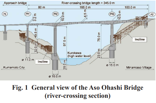
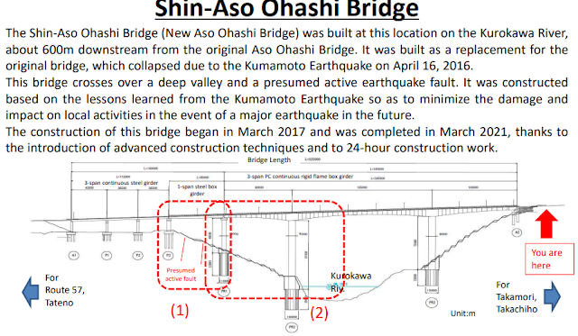
This bridge opened in 2021 to replace a bridge that collapsed in 2016 due to a landslide caused by a 7.0 earthquake. [
grapeejapan]
 |
Highway Engineering Discoveries posted
|
 |
6:49 video
New Aso Bridge, a Symbol of Technical Expertise in the Kumamoto Reconstruction |
I have not found a photo of the old bridge while it was still intact.
Not only did the landslide wipe out the bridge, it left a road and a railroad under a lot of debris. Also note that in the background that a smaller landslide undermined the road. I think the bridge in the upper-right corner among the text is the
Aso Choyoo Bridge.
These four construction techniques helped trim 16 months off the construction time.
The landslide area is now a park.
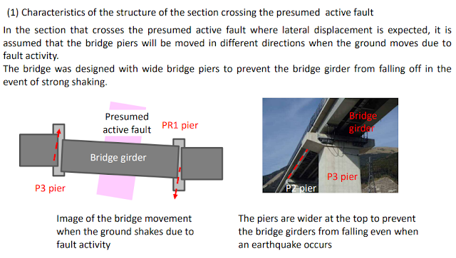
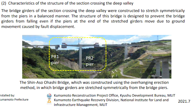
Below this photo of a visitor center sign is an English version of the content.
 |
jci-net
[An article describing the construction] |


%20-%20Google%20Maps.png)


No comments:
Post a Comment