 |
| USACE-hydropower |
"Construction began in August 1939 and was completed in February 1944. The first hydroelectric turbine was placed on line in March 1945 and the second in September 1949." [USACE-hydropower] I'm impressed that such a major construction project was done during WWII. For example, some of the work on Chicago's subways was put on hold during the war. Perhaps scarce resources is why they pushed the technology of earth dams because they wanted the electricity.
"The Denison Dam was the largest rolled-earth fill dam in the United States when it was constructed from 1939 to 1943....Procedures and equipment developed during its construction are now commonplace in the sampling and testing of soils." The reservoir, Lake Texoma, holds almost 6 million acre-feet, of which 125,000 is contracted as the water supply for local communities. [asce, asce-copy] The lake is the 12th largest reservoir in the US and is one of a few reservoirs in the US where striped bass reproduce naturally. On Jan 16, 2004, the world record blue catfish (121.5 pounds) was caught by Cody Mullennix. The top of the flood pool is 640' and that is the elevation of the crest of the uncontrolled spillway. The top of the dam is 670', and the maximum design water surface is 666.4', which is less than 4' from the top. [twdb.gov] When built, the generators were rated at 35MW. Today they are rated at 40MW. In 2014, contracts were awarded to replace the two Francis turbines and three 9'x19' outlet control gates. [HydroReview] The are six flood gates controlling the flow of water through the three 20' diameter outlet conduits. If the head of water is at 640', the conduits can release 67,500 cfs. The two turbines can pass 10,500 cfs. The uncontrolled spillway is rated at 1,050,000 cfs. [YouTube @ 31:08] I presume the million cfs flow would be reached if the water surface reached the 666.4' elevation. That means the depth of the water going over the crest would be 26.4'. I saw a statement that the highest water surface so far was 643' in 2015. [Comment on a video]
 |
| twdb, p79 |

 |
| LC-DIG-ppmsca-17393 |
 |
| LC-DIG-ppmsca-17394 |
I wasn't going to include the photo of yet another building until I realized that this photo shows the surge tanks were part of the original design.
 |
| LC-DIG-ppmsca-17390 [Note that they are still mixing concrete onsite. Trucks did not become large enough to haul ready mix until the 1950s.] |
I include several photos of the outlet conduits passing water because I was intrigued by how turbulent the water is in the outlet spillway.
 |
| Manoj, May 2019 |
 |
| Michael Timpson, May 2019 |
 |
| Jeff T, Jun 2019 |
 |
| Kimberly Scott, May 2019, cropped [This catches the waves of hydraulic jumps real well. Look at the water marks on the wall.] |
This photo explains why the water is so turbulent. It has "tiger teeth" to cause turbulence to remove some energy from the water flow before it goes over the spillway.
 |
| Haley Danielle Lummus, Jul 2019, cropped |
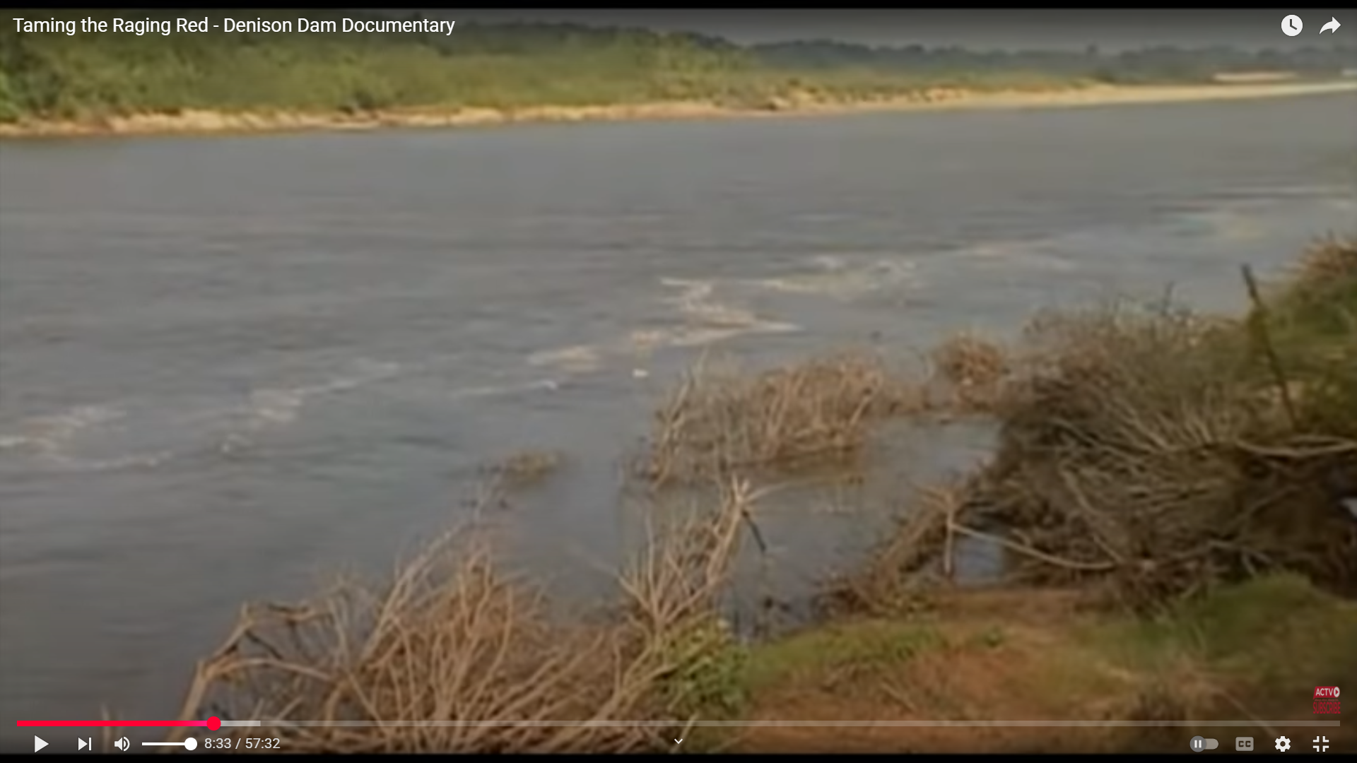
The documentary starts at 8:33.
 |
| 57:32 video @ 8:33 |
When I looked at a satellite image, the spillway struck me as a rather unique design. The water goes over a concrete apron into a stilling basin and then flows over undisturbed earth to the Shawnee Creek. Most of the concrete for this dam's construction was used for this apron. It used 5,600,000 cu yds. [YouTube @ 27:14]
 |
| Satellite |
The tiny culverts under TX-91 is a reminder that spillways are intended just for emergency flooding events. I presume that whenever the spillway is used, the road is washed out and rebuilt. (Update: I found confirmation that the road becomes unusable in this video.)
 |
| Satellite |
 |
| KTEN, July 5, 2007 |
 |
| Kyle Barclay, Apr 2017 [As explained below, I assume this was taken in 2015.] |
May 24, 2015:
 |
| 0:56 video @ 0:07 |


I checked out the lake level for 2017 to confirm that the 2017 date for Kyle's photo must have been when it was uploaded. I presume it was taken during the 2015 flood event.
 |
| USACE-2017 |
Denison Dam was built during WWII for flood control and hydroelectric power. Contrast this photo with the above photos of the outlet conduits discharging water. Is it so dry because no water is flowing through the turbines?
 |
| Seimen Burum, Oct 2020 |
Probably because it is not unusual for the flow to be turned off because the power plant is used for peak power generation. [twdb, p78] Peak power production is now typical of many hydro power plants because they can be turned on and off much easier and quicker than thermal (steam) plants such as coal, gas and nuclear. And keeping the generators off except when extra power is needed conserves water for recreation and drinking. In fact, between 1944 and 1967 the average annual output was 178MW. [twdb, p81] The theoretical annual capacity is 80MW*24*365 = 701GW. So the actual output is 0.025% of the plant's capacity.
 |
| USACE-summary |
19cfs must be leakage
 |
| USACE-DENI, accessed Oct 8, 2020 |
The next day I was able to catch it generating electricity. A flow of 5,170 means that just one turbine is running.
 |
| USACE-DENI, accessed Oct 9, 2020 |
The peak discharge is 72,200 cfs. [snoflo] I assume that peak flow requires both turbines running and all the flood gates for the three 20' diameter outlet conduit to be completely open.
 |
| WaterDataForTexas |
(FMI: Basin Tree)
(new window) Given that this was in 2015, I assume that this was during the flood and that the outlet conduits were running at their full capacity.
(new window) The documentary starts at 8:32.
Because ASCE has a track record of breaking its URLs, this is a copy of the page concerning the Historic Landmark.
 |
| ASCE |
May 2025 Flood
%20Facebook.png) |
| Facebook Reel |
 |
| Tulsa District, USACE posted Current elevation at Lake Texoma is 630.22, which is 14.63 feet above normal seasonal pool. Release increases as of 10:30 AM Hydropower 10,400 CFS Gates 30,900 CFS Total 41,100 CFS Boaters should be aware of potential hazards in the form of floating logs and debris due to high inflows. Be especially cautious north of the Roosevelt Bridge and west of 377 bridge. Current forecast is for the lake to reach 633.8 on May 8. This forecast does not take any future rain into account. For more information on Texoma Lake levels visit us here: https://www.swt-wc.usace.army.mil/DENI.lakepage.html |
 |
| Tulsa District, USACE posted Current lake level for Lake Texoma is at 633.75’, which is 17.90 feet above normal seasonal pool, and rising with an average inflow of 65,000 CFS. The forecasted peak has been updated and is now 636.3’ projected to be reached on May 11. This information does not take any future rain into account. For the most up to date information on Lake Texoma visit us here: https://www.swt.usace.army.mil/Locations/Tulsa-District-Lakes/Oklahoma/Lake-Texoma/ |
This reel shows the debris that is circulating around a whirlpool caused by the water entering the outlet pipes.
%20Facebook.png) |
| Facebook Reel |
 |
| USACE |
 |
| LakeTexomas |
 | |
|
I hope those white roofs are a marina or park pavilions and not homes.
 |
| 5:43 video @ 2:31 Lake Texoma about to Crest. May 2025 |
I think this is the best view of the whole dam that I have seen.
 |
| @ 3:37 |
 |
| [Whoops, I forgot the save the link.] |
I didn't watch this video. But this screenshot with the water near the top of the spillway's training wall is interesting.
 |
| 17:58 video @ 0:13 |
This appeared in my feed in May 29, 2025.
%20Lake%20Texoma%20is%20currently%20releasing%2043129%20cfps%20at%20%23DenisonDam%F0%9F%92%A6%20%23laketexoma%20.png) |
| YouTube Reel |
No comments:
Post a Comment