This was part of the Kentucky River Waterway.
This shows that the lock is a lot taller than the normal upper pool level. I presume that is because the dam does not have any controllable gates and has to be tall enough to keep flood waters from overtopping the gates. We can still see the cut stone construction of the lock.
And that page has links to 18 photos.
 |
| Satellite |
This shows that the lock is a lot taller than the normal upper pool level. I presume that is because the dam does not have any controllable gates and has to be tall enough to keep flood waters from overtopping the gates. We can still see the cut stone construction of the lock.
 |
| Natalie McCormick, Jul 2020 |
The motivation for researching this L&D is that it is a location of a NOAA station for the Kentucky River.
 |
| FrankfortBoatClub |
And that page has links to 18 photos.
 |
| 1 Gage House |
 |
| 2 Wire Weight Gage |
 |
| 3 Upstream from the Gage Showing Quarry |
 |
| 4 Downstream from the Gage |
 |
| 5 Wilson Street at Bellepoint Park |
 |
| 6 Upstream from Lock |
 |
| 7 Upper Staff Sections |
 |
| 8 Upper Pool Staff Gage |
 |
| 9 Upper Pool Lock Gate |
 |
| 10 Upper Pool |
 |
| 11 Lower Lock Staff Gage |
 |
| 12 Lock Chamber and Lock Lock Gate |
 |
| 13 Highest Staff Section |
 |
| 14 Downstream From Lock |
 |
| 15 Dam from the Left Bank |
 |
| 16 Dam from the Right Bank |
 |
| 17 Old Lockmaster House |
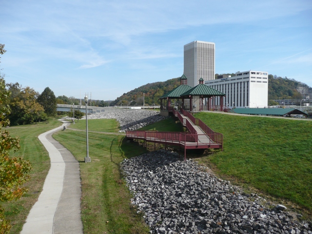 |
| 18 Flood Levee In South Frankfort |
 |
| Owen Rouse posted The “John J. Kelly” at Lock #4 in Frankfort, circa 1950 For much of the 20th century the Kentucky River was used for commercial freight traffic. Towboats pushed barges loaded with materials such as coal, sand, and gravel, as well as containers of crude oil and petroleum products. A fitting example is the John J. Kelly, a towboat which operated on the Kentucky and Green Rivers until the 1960's. Originally built as a steamboat in 1915, it was later converted to diesel, but remained a sternwheeler. For about a dozen years after the end of World War II the John J. Kelly could still be seen on the Kentucky River, where it was employed to bring a barge laden with Gulf Oil products to each of three river docks: (1) above Lock #1 near Carrollton, (2) above Lock #4 at Frankfort, and (3) after it continued its voyage past Clifton, above Lock #7 at Camp Nelson. While at Camp Nelson, the towboat waited for the last of its 3 barges to be unloaded, and then made the return trip down river, picking up the other empty barges along the way. The John J. Kelly towboat seems to have disappeared from public records around 1958. Commercial traffic on the Kentucky River also gradually disappeared after that time. Then, in 1990, with commercial river traffic in decline, Locks #5 through #14 were decommissioned by the Kentucky River Authority. By 2006, when all the locks above Lock #4 were permanently closed, commercial freight traffic above Lock #5 was finally at an end. Sources: Bill Grier, "The Five Lives of the Kentucky River." (Kentucky River Authority, Louisville, Kentucky, 1996) Leland R. Johnson and Charles E. Parrish, “Engineering the Kentucky River” (U.S. Army Corps of Engineers, Louisville District, 1999) Steve Huffman at Steamboats.org/forums (history of the John J. Kelly) Illustration: The John J. Kelly entering Lock #4 at Frankfort, based on a photo in the Shropshire Collection, University of Kentucky Archives, Special Collections Research Center Lloyd Scott Hardin shared |
No comments:
Post a Comment