(
3D Satellite)
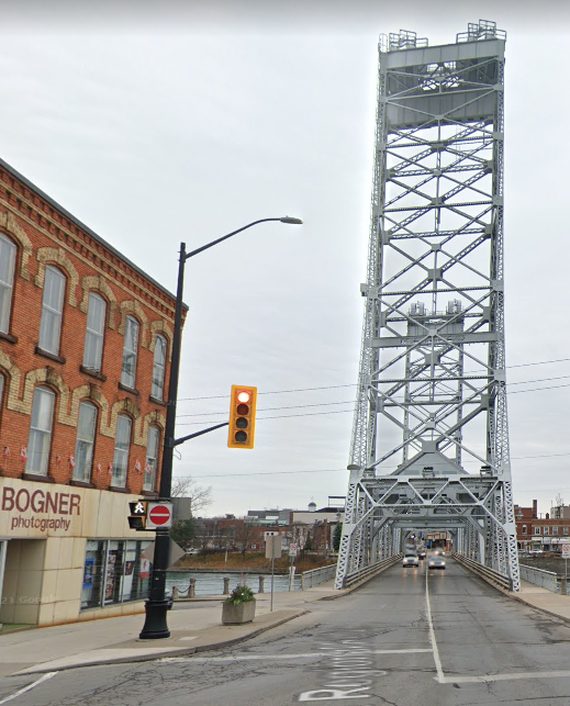
Note that this lift bridge doesn't have any cables or counterweights. That is because it was raised and lowered for the last time on Dec 15, 1972, after the Welland Canal Bypass was built. [
ConstructConnect] Main Street goes under the bypass using a
tunnel.
This map shows how the Welland Canal used to wind its way through Welland whereas the new bypass went east of Welland.
When I noticed the traffic in the portal view above was one-way, I studied a satellite map. I have confirmed that the traffic on the Division Street Bridge is one-way in the other direction. When I noticed the
aqueduct over the Welland River was closeby, I included that in the satellite image because I think it is rather interesting.


No comments:
Post a Comment